Knowledge of geological layers is essential not only to the geologist but also to climatologists, anthropologists, industrialists, and not least to volcanologists predicting the next eruption so they can save lives.
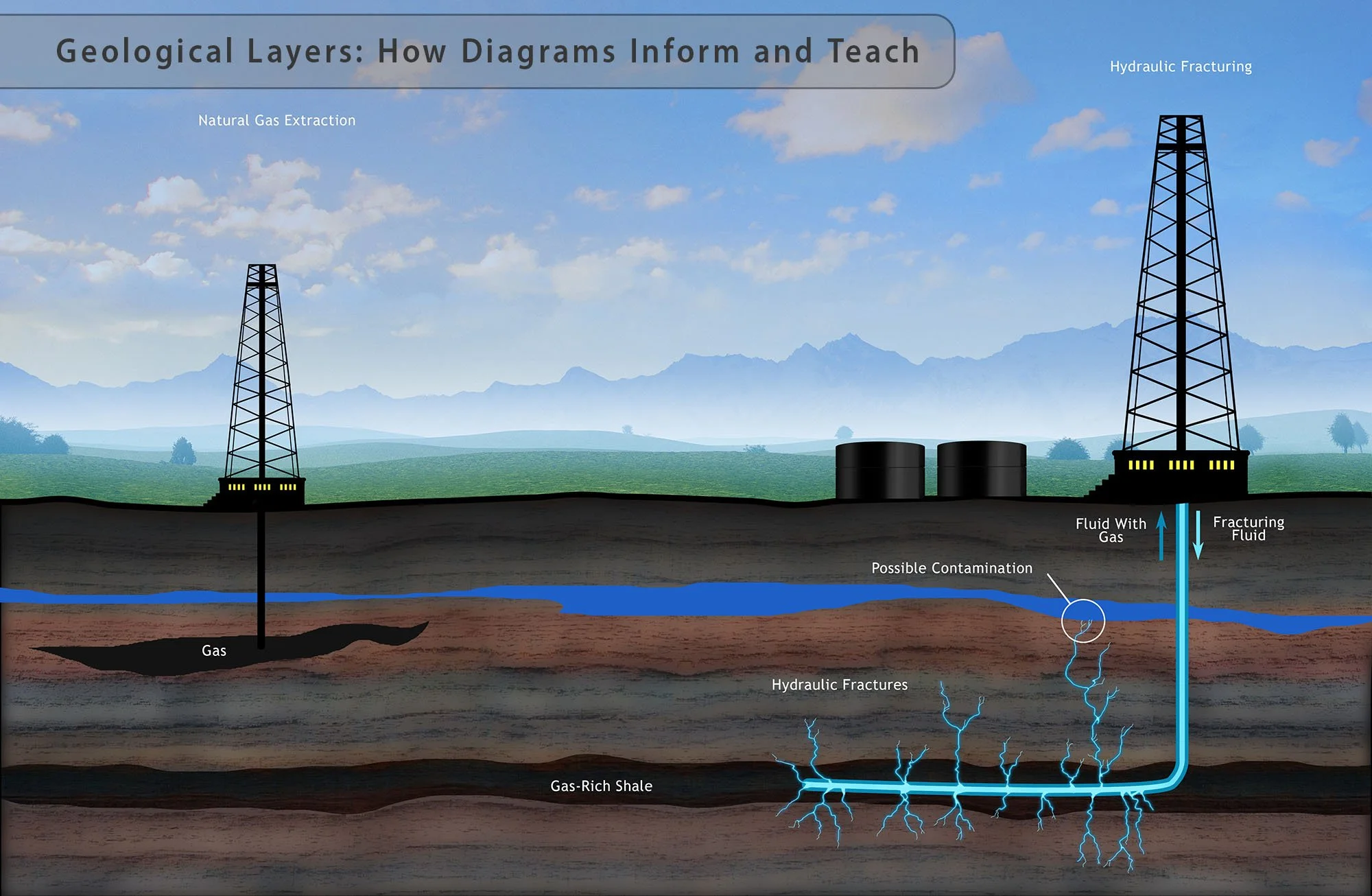
Photographs can only show what lies on the surface. Illustrations and diagrams are an informative means of communicating the information needed, and they can show what lies beneath what’s visible to the naked eye.
GALLERY OF STOCK IMAGES ON GEOLOGICAL LAYERS
Diagrams make a vast collection of data readily understandable. Science Source has a selection of photography, illustration, and diagrams covering topics such as fossilization, fracking, types of earthquakes, carbon capture, coal formation, volcanoes, plate tectonics, and other topics.
We also offer a custom design service if you need any design or illustration on geology, science, or medicine. Our stock images have been published in textbooks worldwide by all major publishers. We offer both RF and RM licensing.

