Earth Science Images

3S9392 Geologist fracture mapping in Two Lights State Park, Maine. © Science Source - science photos
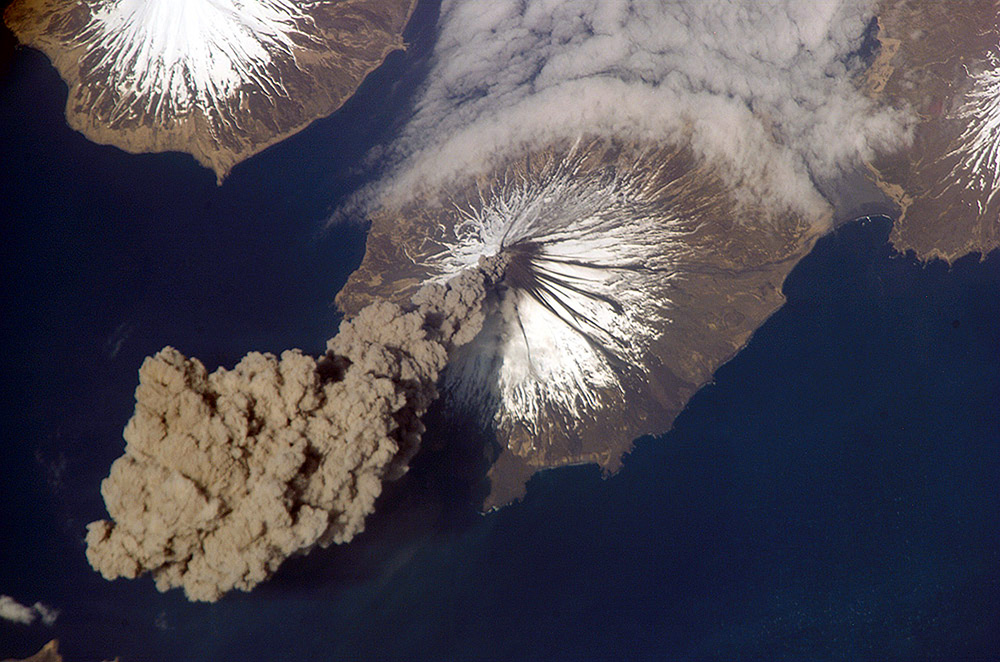
JE1790 - At 3:00 p.m. Alaska Daylight Time on May 23, 2006, Flight Engineer Jeff Williams from International Space Station (ISS) Expedition 13 contacted the Alaska Volcano Observatory (AVO) to report that the Cleveland Volcano had produced a plume of ash. Shortly after the activity began, he took this photograph. This picture shows the ash plume moving west-southwest from the volcano's summit. A bank of fog (upper right) is a common feature around the Aleutian Islands. The event proved to be short-lived; two hours later, the plume had completely detached from the volcano. The AVO reported that the ash cloud height could have been as high as 20,000 feet above sea level. Cleveland Volcano, situated on the western half of Chuginadak Island, is one of the most active of the volcanoes in the Aleutian Islands, which extend west-southwest from the Alaska mainland. It is a stratovolcano, composed of alternating layers of hardened lava, compacted volcanic ash, and volcanic rocks. At a summit elevation of 1,730 meters, this volcano is the highest in the Islands of the Four Mountains group. Carlisle Island to the north-northwest, another stratovolcano, is also part of this group. Magma that feeds eruptions of ash and lava from the Cleveland Volcano is generated by the northwestward movement of the Pacific Plate beneath the North American Plate. As one tectonic plate moves beneath another - a process called subduction - melting of materials above and within the lower plate produces magma that can eventually move to the surface and erupt through a vent (such as a volcano). Cleveland Volcano claimed the only known eruption-related fatality in the Aleutian Islands, in 1944.
© Science Source - science photos
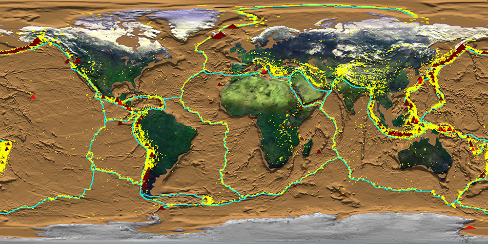
JE1801 - Crustal Dynamics showing earthquakes, plate boundaries, and volcanoes simultaneously. Produced for the Smithsonian Institution's HoloGlobe Exhibit which opened to the public on August 10, 1996 at the Museum of Natural History in Washington, DC. The various data sets show progressive global change mapped onto a rotating globe and projected into space to create a holographic image of the Earth. The exhibit shows that Earth's atmosphere, hydrosphere, geosphere, and biosphere are dynamic, changing on timescales of days, minutes, or even seconds.
© Science Source - science photos
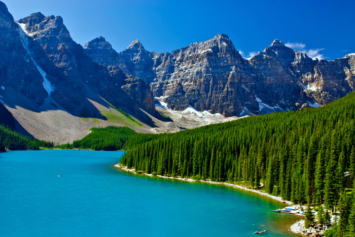
BS7685 Trees line the shore of Moraine Lake, Banff National Park, Alberta, Canada. © Science Source - science photos
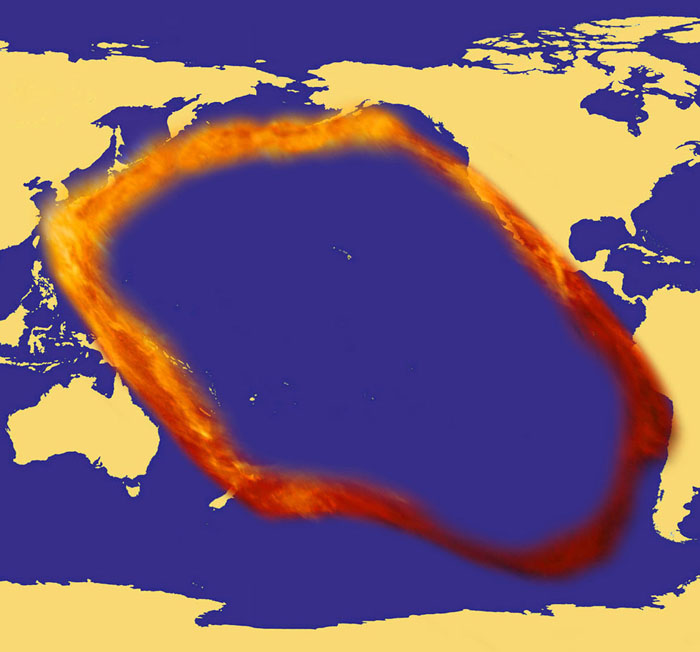
BV6633 Pacific 'Ring of Fire,' where most of the world's earthquakes occur and where most volcanoes are located. © Science Source - science photos
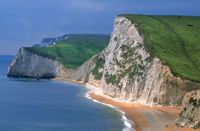
BZ0799 Chalk cliffs at Lulworth Cove, Dorset, England. © Science Source - science photos
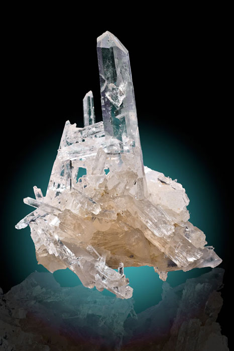
BZ0926 Quartz from Jeffrey Quarry, North Little Rock, Arkansas. © Science Source - science photos
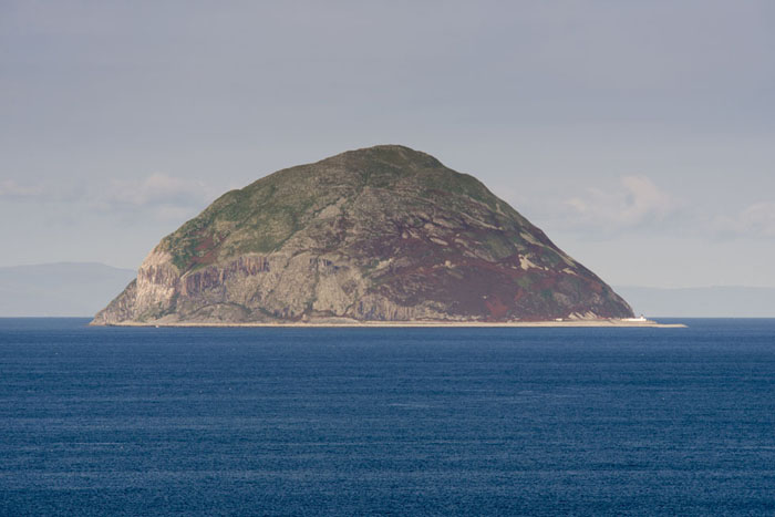
FD6577 View of Ailsa Craig, a volcanic plug island off the coast of Scotland. © Science Source - science photos

SG8192 Illustration of the Earth with half of its atmosphere removed. © Science Source - science photos
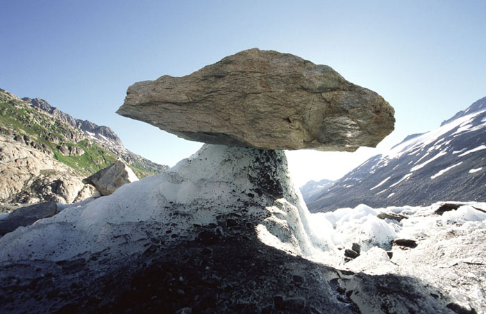
SM2999 Glacier table on the Upper Glacier, Grindelwald, Switzerland. © Science Source - science photos
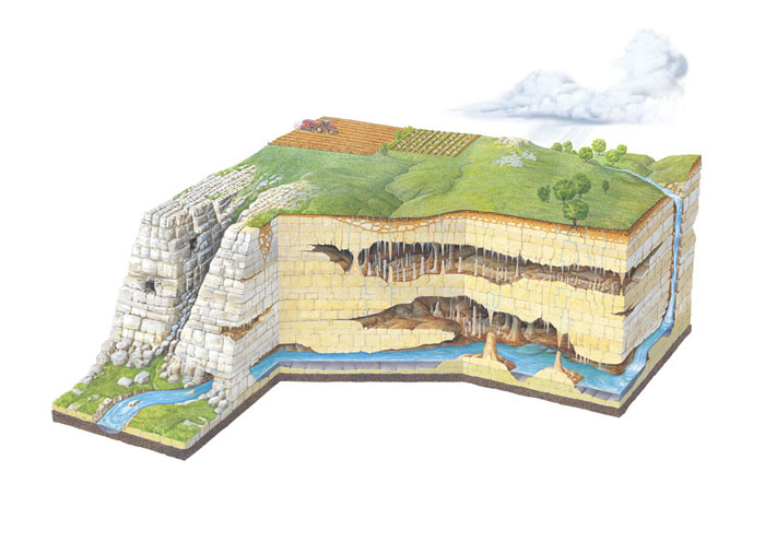
SQ7577 Illustration showing the features of a karst limestone landscape formed by erosion. © Science Source - science photos
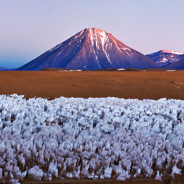
BV5893 - The spectacular Licancabur Volcano at the border between Chile and Bolivia. Licancabur appears in the morning twilight over an Andean ice field at an altitude of 5000 meters. The ice field in the foreground is a feature of high-altitude Andean plateaus known as ice penitentes. Licancabur reaches to 5920 meters. November 2011. © Science Source - science photos
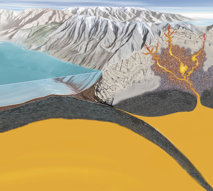
SP7288 Subduction zone processes. Cutaway artwork showing the geological processes that occur at a subduction zone between two tectonic plates. An oceanic plate (left) is descending beneath a continental plate (right). At the boundary, mountains are being formed as the rock crumples and is pushed upwards under pressure. New rock is also formed from volcanic eruptions (upper right) as the oceanic plate melts and molten rock rises. This artwork also shows the crumpling of rock strata within the mountains, and ocean floor sediments (brown) being dragged down into the mantle (orange). © Science Source - science photos

3A5138 Geologist Abel Ramirez demonstrates a Garmin 45 global positioning system receiver. © Science Source - science photos


